

A Short-Lived Launch: The Nano Banana Controversy
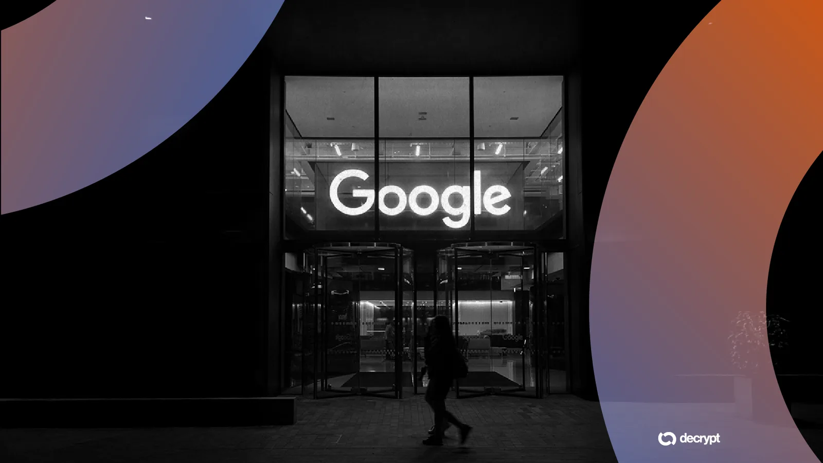
Google’s latest attempt to integrate generative AI into its geospatial ecosystem has hit a major roadblock. On July 30, the tech giant introduced a feature within the web version of Google Earth that allowed users to generate custom scenes using text prompts via the ‘Nano Banana’ model. However, by July 31, the feature was abruptly removed from the platform.
The rollback was triggered by an immediate backlash from journalists and open-source intelligence (OSINT) researchers. They demonstrated that the tool could be used to create highly convincing, yet entirely fabricated, satellite imagery of global crises and local disasters.
The Danger of Fabricated Reality
The core issue lies in the inherent trust users place in satellite imagery. Traditionally, geospatial data has been a cornerstone for verifying news, documenting human rights abuses, and assessing natural disasters. The ability to generate these images with a single click threatens to undermine this credibility.
Researchers showcased several alarming examples of the tool’s capabilities, including:
- Simulated blast craters in major cities like Los Angeles.
- Fake scenes of the U.S. Capitol building under floodwaters.
- Fabricated images of military or industrial sites, such as Kharg Island in Iran, appearing to be on fire.
- Made-up scenarios involving refugees at the Mexican border.
Experts, including researchers from Bellingcat, warned that such tools could accelerate the spread of misinformation. Perhaps even more damaging is the ‘liar’s dividend’—a phenomenon where the existence of easy-to-make fakes allows bad actors to dismiss authentic, real-world evidence as being AI-generated.
Watermarking vs. Real-World Safety
Google attempted to defend the tool by highlighting its use of SynthID, a digital watermarking technology designed to flag AI-generated content. The company argued that this would help tools like Gemini identify synthetic images and that they had existing filters for harmful topics.
However, critics argued that watermarks are an insufficient defense in the fast-paced world of social media, where images are often shared and consumed long before any verification takes place. The ease with which researchers bypassed existing safeguards proved that the ‘guardrails’ were not yet robust enough for a platform as influential as Google Earth.
What Happens Next for Google Earth?
Google has stated that it will only reinstate the image generation feature once significantly stronger protections are in place. While the company acknowledged the potential for professional geospatial applications, the immediate priority is preventing the weaponization of its technology for disinformation campaigns.
As of now, no timeline has been provided for when the feature might return, leaving a significant question mark over the future of generative AI in Google’s mapping services.
Based on reporting by NPR and 404 Media.